Best Hiking Excursions in C. Valencia (Everyday)

0
Discover the best hikings in Valencia.
Save To Wish List

Adding item to wishlist requires an account

57
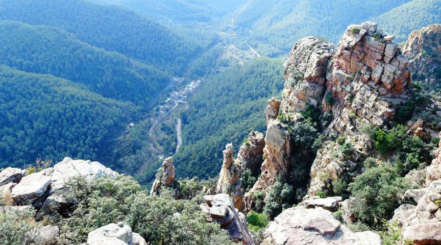
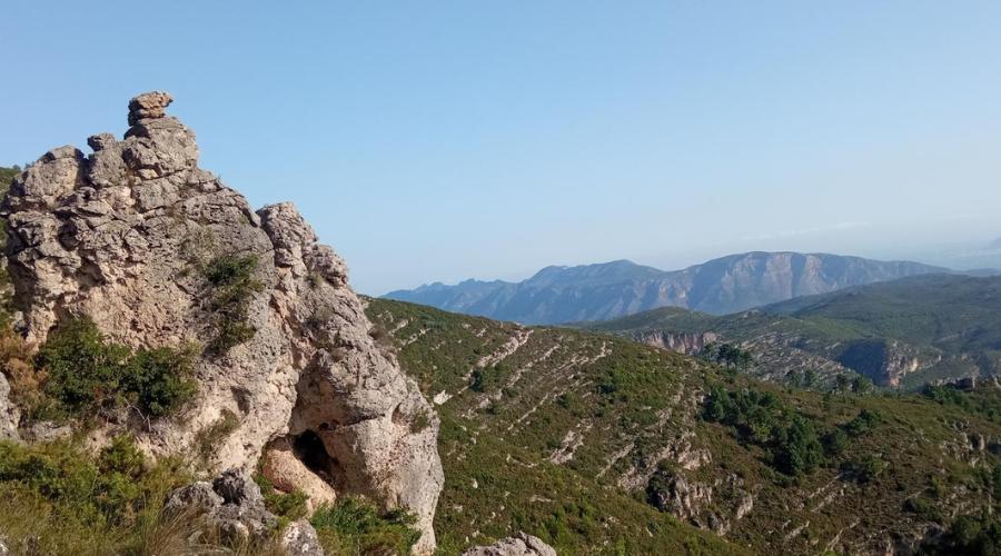
Discover the best hiking trails in the Valencian Community with the biggest International Hiking Community of Valencia!

Best hiking trails in the Valencian Community

  • Hike with a group of locals & international people who share same passion for hiking and nature.
  • Hiking trails
  • Meeting point: Mestalla, Valencia

Discover the best hiking trails in the Valencian Community with the International Hiking Community of Valencia!

It’s not only about hiking — it’s also about connecting with with international people who share your love for nature and adventure and live in Valencia. 

The Valencian region offers incredible natural landscapes, and we explore them through fantastic hikes of all difficulty levels and if it with a comunity who shares the same interest, it is even better. 

We are the first international hiking community in Valencia, and the only one offering hikes almost every day of the year — always departing from the city in small groups (Minivan or minibus – max 10 people).

Why join us?

  • International connections: Hikers from all over the world, united by the same passion.
  • Frequent hikes: We go out almost every day, so you can hike whenever it suits you.
  • Transport included: Minivan or minibus for small groups (max 10 people).
  • Love for the mountains: Perfect for those seeking pure nature.
  • Medium-high to high level: For true mountain lovers looking for a challenge
  • Professional guides & full organization: Includes insurance.
  • Social atmosphere: Share the trail with people who share your interests.
  • Carefully selected routes: 20 best hikes choosen by the various professional mountneers
  • Physical challenge: With Medium to high  levels to meet your expectations, amazing views, connection with nature, and mental relaxation.
  • Eco commitment: We only ask you to respect and care for the places you visit.

Carefully 20 best trails choosen by  the help of professional hikers.
You can click each and have a small description down in the page and a link if you want more information.

  1. Barranco del Infierno (It is called The Cathedral of Hiking) Level medium-high
  2. Benicadell (Known as door between Valencia & Alicante) Level medium-high / difficult
  3. Benitandus (The most beautiful trek of Sierra de espadan) Level medium-high
  4. Buñol (Known as the route of caves, waterfalls, springs and canyons) Level medium
  5. Cabeçó d’or (Known as golden Head or Treasure of the mountains) Level medium-high
  6. Castillo de chirel (Also known as fortaleza de Cortes de Pallás) Level medium
  7. Cueva de la Galera (La ruta de las cuevas) Level medium
  8. Font roja (The First Natural Park in the Valencian Community) Level medium-high
  9. Forat de Bernia (Enter in serra and exit to mediteraean, Vistas impressionante) Level high
  10. Montcabrer (Known as montaña para las cabras) Level medium-high
  11. Montduver (The balcony of La Safor, with sea and mountain views) Level medium
  12. MOntgo (The most impressive mountain in the Valencian region) Level medium-high
  13. Peñaescabia (Bejis) (Surrounded by nature’s best landscapes) Level medium-high
  14. Penyacalva (Stunning views and wildlife on Maestrat hike) Level medium-high
  15. Penyagolosa (Higest peak of Comunidad Valenciana) Level medium-high/difficult
  16. Pla de casa (Also known as Pyrenees of Alicante or Kingdom of Sky) Level medium
  17. Puig campana (The most dificult mountain of Comunidad) Level very difficult
  18. Serra calderona Garbi
  19. Sierra de Espadan (The most hiked trek of Comunidad Valenciana) Level medium-high
  20. Tavernes de la Valldigna (Known as meeting point for valencian mountaineers) Level medium
Details

Departure & Return Location

Avenida Aragon, 31 (in front of Mestalla)

Departure Time

08:30 Arrival at meeting point (Please be puntual)

What do you bring to the trip?

  • For the hiking trails: adequate footwear (sports or mountain), sunscreen (the sun will hit your face directly)
  • Food and drinks: we recommend that you bring it from home because we will eat halfway

Price Includes

  • Private transport
  • Insurance
  • Experienced coordinators
  • For activities: professional guide, equipement, insurance and pictures.

Price Excludes

  • Food and drinks
  • Whatever is not mentioned in "included"
Hiking routes description

Barranco del Infierno

Distance: 12.8 km (circular route)

Elevation gain: 1,037 m

Difficulty: Medium-high 

More info: Barranco del Infierno
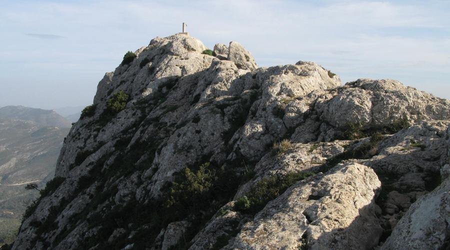
Benicadell

Distance: 14 km

Elevation gain: 990 m 

Difficulty: Medium-high / difficult

More info: Benicadell

Benitandus

Distance: 10 km

Elevation gain: 640 m

Difficulty: Medium

More info: Benitandus

Ruta de Agua Buñol

Distance: 9.09 km (circular route)

Elevation gain: 335 m

Difficulty: Medium

More info: Ruta de Agua Buñol

Cabeçó D’or

Distance: 11.39 km (circular route)

Elevation gain: 890 m  

Difficulty: Medium-high

More info: Cabeçó D’or 

Castillo de chirel

Distance: 11.44 km (circular route)

Elevation gain: 547 m 

Difficulty: Medium

More info: Castillo de Chirel

Cueva de la Galera

Distance:  10 km (circular route)

Elevation gain: 473 m  

Difficulty: Medium 

More info: Cueva de la Galera

Font Roja

Distance:  12.94 km (circular route)

Elevation gain: 664 m  

Difficulty: Medium 

More info: Font Roja

Forat de Bernia

Distance: 9 km (circular route) 

Elevation gain: 634 m 

Difficulty: Medium 

More info: Forat de Bernia

Montcabrer

Distance:  16.11 km (circular route)

Elevation gain: 943 m  

Difficulty: Medium 

More info: Montcabrer

Montduver

Distance: 10 km (circular route)

Elevation gain: 640 m

Difficulty: Medium

More info: Montduver


Montgo

Distance: 11 km (circular route)

Elevation gain: 750 m  

Difficulty: Medium-high

More info: Montgo

Peñaescabia (Bejis)

Distance: 15.95 km (circular route)

Elevation gain: 1 km 

Difficulty: Medium-high

More info: Peñaescabia/Bejis

Penyacalva

Distance: 16,74 km (circular route)

Elevation gain: 816 m

Difficulty: Medium-high

More info: Penyacalva


Penyagolosa

Distance: 12/16 km (circular route)

Elevation gain: 662 m (Highest point 1813)

Difficulty: Medium-high/Difficult

More info: Penyagolosa

Pla de Clasa

Distance: 10 km

Elevation gain: 683 m

Difficulty: Medium 

More info: Pla de casa


Puig Campana

Distance: 12 km

Elevation gain: 1367 m

Difficulty: Very difficult

More info: Puig Campana

Serra calderona Garbi

Distance: 

Elevation gain: 

Difficulty: 

More info:

Sierra de Espadan

Distance: 16.41 km (circular route)

Elevation gain: 868 m

Difficulty: Medium-high

More info: Sierra de Espadan

Tavernes de la Valldigna

Distance: 11 km

Elevation gain: 650 m

Difficulty: Medium

More info: Tavernes de la Valldigna

Photos
Program

Departure from Valencia

We meet in front of Mestalla (Avenida de Argon, 31)

Arrival and start of the hike

We arrive, have a stop and start the hike

Halfway lunch

We will stop halfway to have lunch

Back to Valencia

Meeting point

FAQ

How can you book the trip?

You can book on the website or at our office in Plaza Honduras, 26 from 09:30 to 14:30.

Do I have to book in advance or can I pay on the day of travel?

Yes, it is necessary to book in advance, as we cannot guarantee that there will be places available on that day.

What are the cancellation policies?

Cancellation policy: Until one week before, 100% refund in form of money/voucher whatever you prefer. From 1 week to 72 hours before  100% only in form of voucher. After 72 hours NO REFUND.

In case of medical emergency / Force Majeure (With justification) 24 hours before only voucher after NO REFUND.

Where does the bus leave from?

Normally our buses leave from Avenida Aragón 31 (Mestalla). However, after booking, you will receive all the details with the ticket by email (please check your spam folder in case you receive the email immediately after booking).

Any more questions?

If you still have any more questions, please write to us at:

Email: info@wexcursion.com, WhatsApp: +34 674296671

All our trips are organised by Travel agency, WEXCURSION, under licence number CV-m-1881-V.

Cancellation policy: Until one week before, 100% refund. In form of money/voucher whatever you prefer. From one week until Thursday (of the same week): 100% only in form of voucher. After Thursday 20:00 NO REFUND.

From€50,0€40,0
Book Now

Proceed Booking